Bristol's ground conditions shift dramatically from the Carboniferous Limestone of the Avon Gorge to the Triassic Mercia Mudstone that underlies much of the city centre. The tidal range of the River Avon—the second highest in the world—creates a fluctuating groundwater regime that makes permeability assumptions from desk studies dangerously unreliable. When designing deep basements near the Floating Harbour or assessing infiltration for SuDS in the clay-rich soils of Redland, a field permeability test is the only way to obtain mass hydraulic conductivity values that reflect real jointing, fissuring and stratification. We run both Lefranc tests in soil boreholes and Lugeon tests in rock coreholes, often alongside SPT drilling to correlate permeability with N-values in the variable drift deposits that blanket the Bristol area.
A Lugeon test in Bristol's karstic limestone can reveal permeability contrasts of three orders of magnitude within a single five-metre stage.
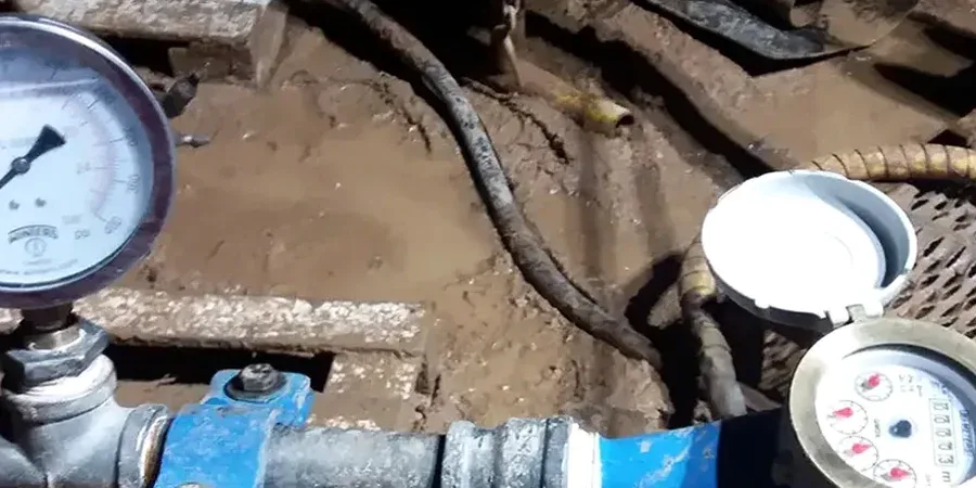
How we work
Local ground factors
Bristol's tidal range reaches 14.5 metres at spring tides—the second largest globally—and this creates a dynamic groundwater boundary along the Avon corridor. A permeability test performed at low tide can give a conductivity value 40% higher than the same test at high tide if the borehole is hydraulically connected to the river. Ignoring this tidal influence has led to dewatering system undersizing on several Temple Quarter regeneration projects, where excavations intersected water-bearing gravels at depths of just four metres. Another local risk is the presence of unmapped mine workings in the Coal Measures to the east of the city; a Lugeon test that shows sudden total water loss at a specific depth often indicates intersection with an old adit or collapsed workings, triggering the need for geophysical follow-up and grout stabilisation before construction can proceed safely.
Explanatory video
Relevant standards
BS 5930:2015+A1:2020 – Code of practice for ground investigations (Lefranc, Lugeon), Eurocode 7 (BS EN 1997-2:2007) – Ground investigation and testing, BS EN ISO 22282-2:2012 – Geotechnical investigation, water permeability in boreholes
Related services
Lefranc permeability testing in soils
Constant-head and falling-head Lefranc tests executed in boreholes through Bristol's Mercia Mudstone weathered zone, alluvial silts and glacial gravels. We isolate the test section with a sand filter and bentonite seal, measuring flow rates at steady state to calculate K values for SuDS infiltration assessment, basement drainage design and temporary works dewatering planning.
Lugeon packer testing in rock
Double-packer Lugeon tests in the Carboniferous Limestone and Coal Measures sandstone of the Bristol region. We run the standard five-pressure-stage sequence (P1–P5) to plot water take against pressure, identifying laminar, turbulent, dilation or washout flow regimes. Results are interpreted using Houlsby's criterion and reported with recommendations for grouting pressures and mix design where required.
Typical parameters
Common questions
What does a Lugeon test cost for a typical Bristol ground investigation?
For a single Lugeon test in a rock borehole already advanced, budget between £560 and £840 including packer setup, the five-stage pressure sequence, flow monitoring and the interpretive report with Lugeon values and flow-regime classification. The final figure depends on borehole depth, access constraints within the city and whether multiple test stages are required in the same hole.
When is a Lugeon test preferred over a Lefranc test?
A Lugeon test is the right choice when the ground investigation encounters rock with fractures, joints or karstic features—typical of the Carboniferous Limestone in Clifton and the Avon Gorge. It uses a double-packer system to isolate a specific section of the borehole and applies water under pressure in five controlled stages. The resulting pressure-versus-flow curve tells us whether the rock mass will accept grout and at what pressure, which a Lefranc test in soil simply cannot deliver.
How do Bristol's tidal conditions affect permeability test results?
The Avon's 14-metre tidal range influences groundwater levels in boreholes within several hundred metres of the riverbank. We always record tide state and river level at the time of testing. If the borehole shows a hydraulic connection to the river, we run tests at both low and high tide to bracket the effective permeability range, or we correct the data using a tidal-efficiency factor derived from concurrent piezometer monitoring.